Hi,
using
https://cloud.hemaexplorer.com.au is relatively simple.
It works best if you have a hema app on a phone as you can create routes on the pc and have them synch to the phone. So much easier than working on a small screen.
Go to the website, you will have to register to use it properly, as you can save your work as private if you want.
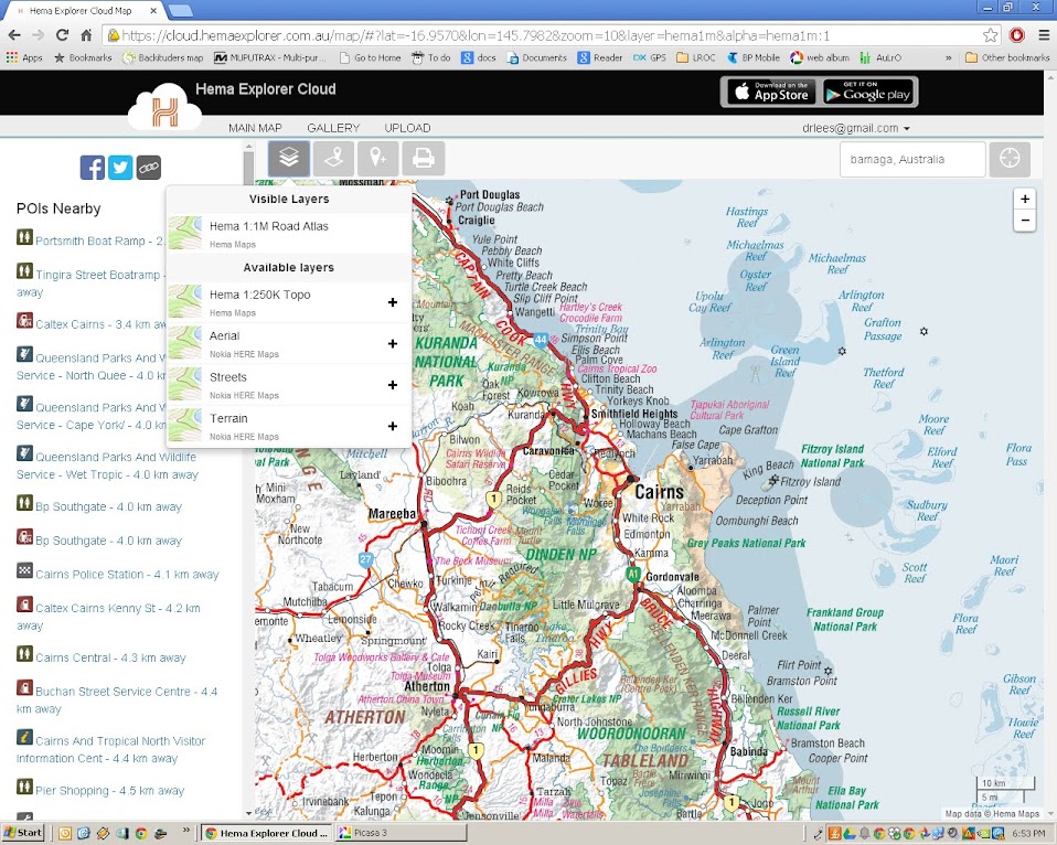
In the map area, sort out where you want to be and the best map scale and overlay for what you are doing.
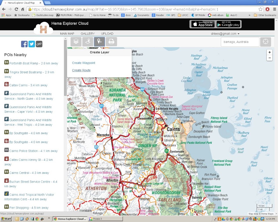
Select the route tool.
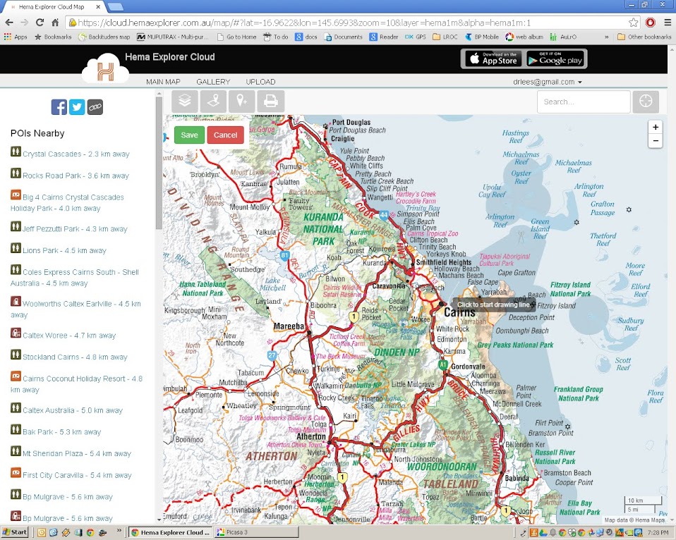
Click to start, and roughly work your way along the route you want to put in.

Don't put too much effort in at this stage, you can tune it later before you save it.

I'll keep this short, the principle is all we need to learn here.
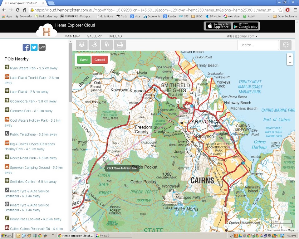
Notice the grey text box near an intermediate point? If you drag this to the road, it will create another intermediate point either side. This is where any fine tuning around tricky bits of track can be useful. Forget it for highways, they only need wide spacing.

Dragging the line.
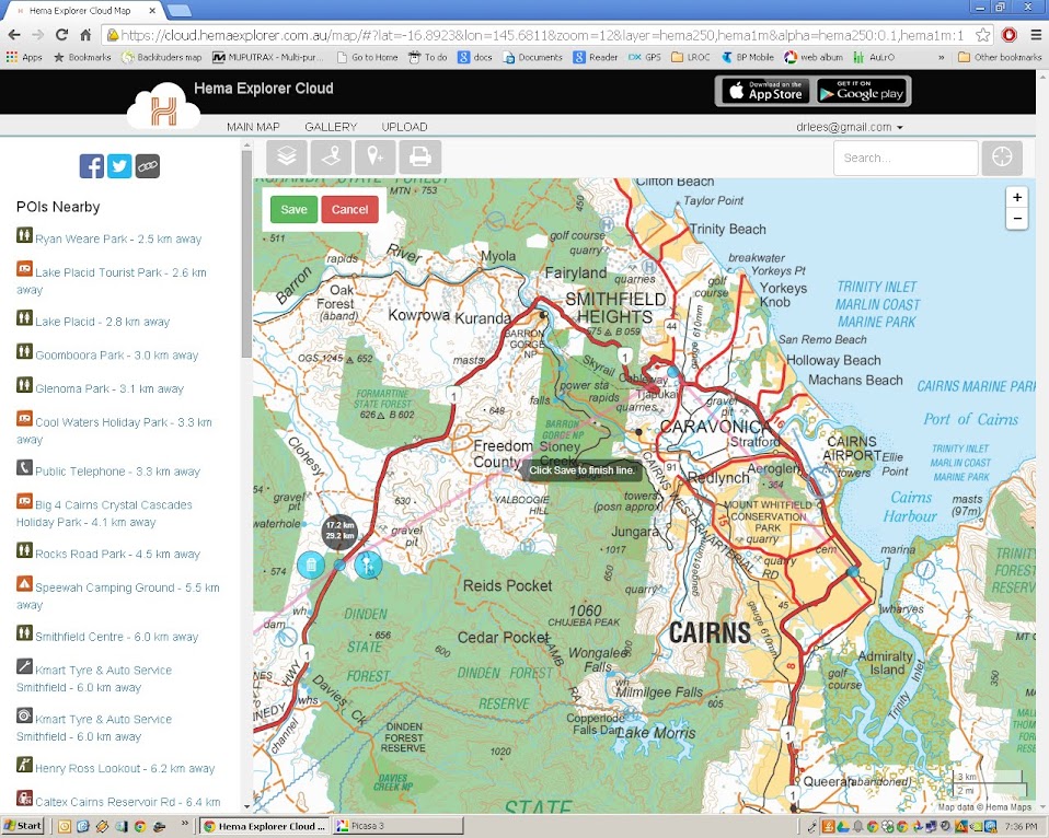
You can see the new intermediate point near the grey text box.
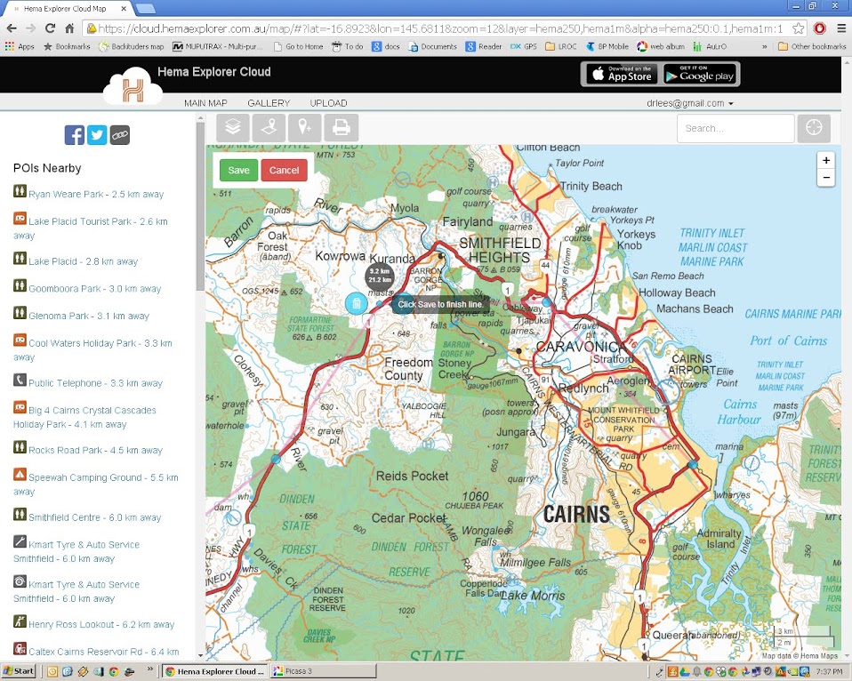
The intermediate point has become a main point on the road.
Beware of the Save button.
Once you save, you can no longer edit in the web browser.
Thus perhaps you may like to make several maps. One over view with very rough detail, just to show the whole track from start to finish.
You may want to make other routes for each day's travel with more detail.
Once you have your routes, you can share them (there is a link button to copy the link and paste it into an email (or forum) and others can see what you have planned
Now there seems to be no control over the colour of the line while laying out the route, so sorry if it is a bit hard to see, but once the route is saved you do have control, and can make it contrast against the map quite well.
This is a
route I have planned out next time I'm up the East Coast of Tasmania.
Once you have done the trip, you can also up load tracks and photos to share with others.
This one is from a walk we did in the Flinders Ranges a month or so ago.
So you can see it is quite a versatile tool for recording and sharing proposed and past trips.
Cheers