bit of a video for you all......
this is the view from the rear verandah where we were staying / flooded in outside Gympie at my sister inlaws place, normally you can't see any water at all from here just the tree tops that are lining the river down below. that wasn't the peak height either, if you notice the gate down the bottom of the paddock (lefthand side)....it was covered completely when the river peaked, so about 1200mm higher then what is shown there.
a few pics from the weekend....
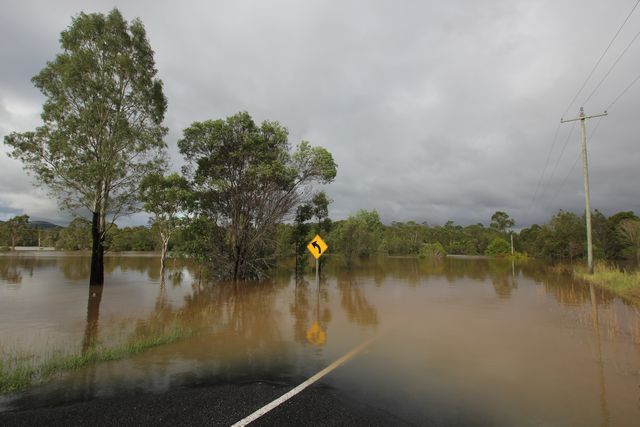
here's the road that cut us off from the Southside of Gympie, this was taken Sunday lunch time i think from memory. 9.00 a.m i drove across here and it was fast flowing storm water run off, 30 minutes later it was nearly guide post height storm water run off and flowing to fast to consider it safe to cross. this is flood water that has backed up from the Mary river, so not flowing fast anymore. normal flows left to right but is backing up from downstream at this stage.
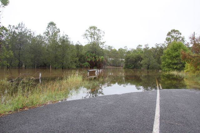
note the sign behind my fourby where i took this first pic
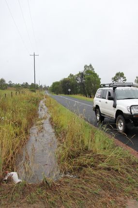
same area the next day, Monday morning
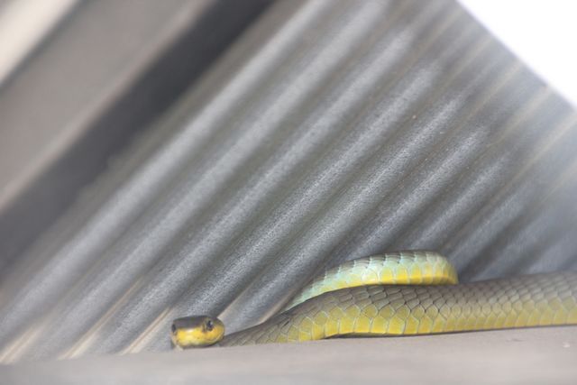
the SIL went to check the letterbox as we walked to their friends property down the road and my daughter saw this just in time before SIL reached in.
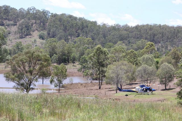
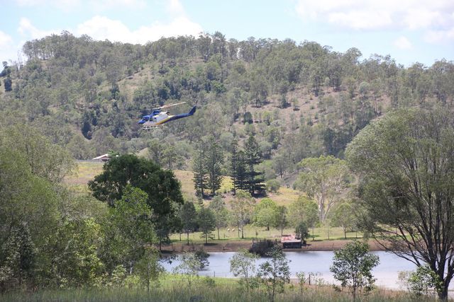
these guys set down in a paddock up the street, they didn't evac anyone so not sure why. they shut the engine down and after 10 minutes started it up again and took off, i wondered if a warning light didn't come up on the chopper maybe?
